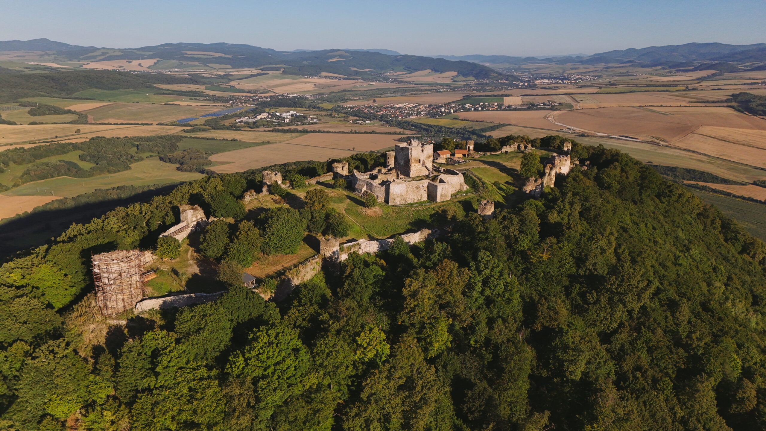
The guard castle of Medzianky rises at a height (382 m above sea level) about 1 kilometer northeast of the village of the same name, on an elevated rock outcrop. The first written record of Medzianky dates back to 1248. During the feudal period, the village belonged to the manor of Šariš Castle. In the past, the castle served as a guard castle - one of the reasons was the amazing view of the neighbouring castles Kapušany and Šariš, Slanské vrchy or Hanušovce nad Topľou. That is also why Medzianský hradok was perfectly used in the signal system. It guarded an important communication link from Zemplín to Šariš.
The castle was probably built by the Knights of St. John, who had their monastery in nearby Hanušovce nad Topľou. The greatest flowering of the castle and the life in Medzianky dates back to the last third of the 13th century. In 1332, the new landowner and owner of the castle, Demeter of the Abovec family, was mentioned. From the 15th century onwards, records of the castle gradually disappear. In the middle of the 15th century, the abandoned building was still apparently used by the Brothers„ troops under the command of Jan Talafúz. However, lack of space forced them to abandon the castle in 1460 and they probably built a fortress called “Zadná hura", above today's Chmelov. The castle's disappearance is probably due to internal political struggles. However, the location of the castle was strategically very advantageous. It effectively controlled the road leading underneath it to the west to the Prešov basin, as well as the main road through the Tope valley to Bardejov and across the Carpathians to Poland. Moreover, the visual connection with nearby Kapusany and Šariš Castle allowed for mutual signalling and as a result, it is likely that the castle was incorporated into the defence system of the medieval Hungarian state. The excellent location of the castle is also evidenced by its use as a military observation post at the end of the Second World War. The castle had a one-piece rectangular plan (36 x 13-15 m) and was framed by a mighty wall 2-2.7 m thick. The integral part of the castle was a square tower (8.5 x 8 m). In the courtyard, a 6 m deep cistern was dug into the rock. The fortification system also included a rampart fortification and a moat. Nowadays, part of the castle is conserved.
Photo: Municipality of Medzianky, Ing. Jozef Kotulič